Products tagged with 'guide book'
Pesda Press
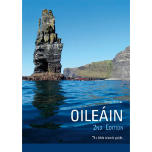
Oileáin
Over 570 Irish Islands – a wealth of information on the wildlife, stories and history of the islands. For those wishing to visit in small boats or kayaks there are details of: Landings, Camping, Drinking water and Tidal information.
Pesda Press
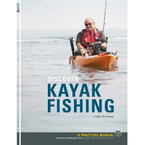
Discover Kayak Fishing
The Pesda Press Discover Kayak Fishing guide book is great for the angler who has taken up or is curious about kayak fishing. Experienced kayakers will also benefit from Andy’s kayak fishing wisdom.
Pesda Press
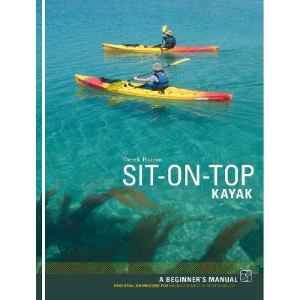
Sit-on-Top Kayak
The Pesda Press Sit-on-Top Kayak book serves as an excellent introductory guide for those venturing into the world of sit-on-top kayaking. It offers comprehensive insights for paddlers of all levels, making it an enjoyable and accessible resource for both newcomers and those curious about this exciting water sport.
Pesda Press
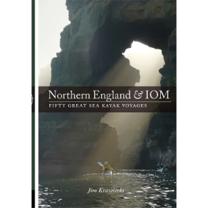
Northern England & IOM Fifty Great Sea Kayak Voyages
A guidebook for sea kayaking trips in the North West of England, and around the Isle of Man.Published by Pesda Press. Paperback.
Pesda Press
The Outer Hebrides Sea Kayaking
This guide has stood the test of time very well so this is a reprint (2022) with minor updates and corrections. It is not a new edition so don’t rush out and buy one if you already have it. The title has been changed to Outer Hebrides Sea Kayaking, this is just to make it clear that it is a sea kayaking guide.
Pesda Press
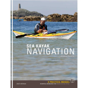
Sea Kayak Navigation
A concise manual of navigation aimed specifically at sea kayakers. In this 2nd edition, the author has added and expanded on topics where they have considered this desirable, but have also taken great care to keep it as short and simple as possible.
Pesda Press
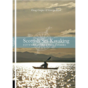
Scottish Sea Kayaking
Scottish Sea Kayaking features a collection of 50 sea kayaking journeys around Scotland and the isles.
Pesda Press
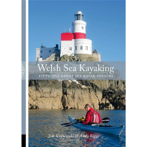
Welsh Sea Kayaking
Welsh Sea Kayaking is a comprehensive guide that gives information on 50 selected trips along the Welsh Coastline. It covers from the Dee Estuary right down to the Bristol Channel. For each trip it gives information on start points, finish points which also include grid references. High and low water times, tide speeds and also other information such as the local coastguard.
