Products tagged with 'hiking book'
Cicerone
Walking Glyndwr's Way
The Cicerone Press guidebook "Walking Glyndwr's Way" details the scenic National Trail in mid-Wales. Covering 135 miles from Knighton to Welshpool via Machynlleth, the trail typically takes 9 days to complete. For those seeking a circular route, an additional 2 days (29 miles) on the Offa's Dyke Path completes the loop. This trail winds through serene hills, forests, and picturesque countryside.
Cicerone
Walking The Severn Way
Guidebook to walking the Severn Way, a 210 mile (338km) walk through the Welsh borders. Beginning near the source of the River Severn in Powys, mid-Wales, and finishing in Bristol, the history-rich route is described over 22 stages (ranging from 3 to 14 miles), passing through the counties of Powys, Shropshire, Worcestershire and Gloucestershire.
Cicerone
Walking the Hebridean Way
Guidebook to walking the Hebridean Way, a 155 mile (247km) walking route along the length of the Outer Hebrides. From the island of Vatersay to Stornoway on Lewis, the waymarked route can be walked in 8 to 13 days and crosses a variety of terrain including shell beaches, rugged hills and wild moor. Also includes an extension to the Butt of Lewis.
Cicerone
Walking The Cambrian Way: Classic Wales Mountain Trek - south to north from Cardiff to Conwy
Guidebook to the Cambrian Way, a challenging three-week mountain trek through Wales from Cardiff to Conwy. The 470km route is presented from south to north. Often sticking to long, beautiful ridgelines, it crosses wild and rugged terrain and visits many of Wales's highest mountains, including Snowdon.
Gwasg Carreg Gwalch
Circular Walks In Brecon Beacons National Park
12 circular walks in the Brecon Beacons, highlighting the landscape, beauty and history of the National Park. Easy to follow directions and maps for all walks and how to get there - with added information on pubs, cafes, local attractions and information centres. These include short walks suitable for families and longer routes to satisfy even the most experienced hillwalker.
Cicerone
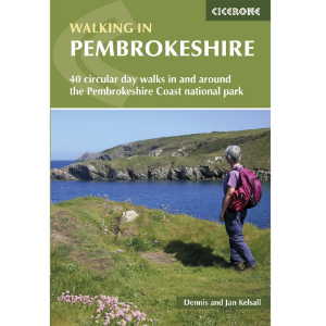
Walking in Pembrokeshire: 40 circular day walks in and around the Pembrokeshire Coast National Park
Guidebook to 40 circular walks in Pembrokeshire in Wales. Routes take in the dramatic beauty of the national park and its coast, the Daugleddau and the Preseli Hills, while exploring wooded gorges, prehistoric hillforts and medieval castles. Walks range from 1 to 12 miles and route descriptions are accompanied by 1:50,000 OS map extracts.
Cicerone
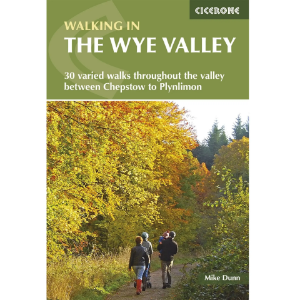
Walking in the Wye Valley 30 Varied Walks Throughout the Valley Between Chepstow and Plynlimon
Guidebook to 30 varied walks of 3 - 10 miles, in the valley of the Wye, the most scenic river in England and Wales, between Chepstow in the south and Plynlimon. Landscape ranges from open moorland to wooded gorges and is dotted with the sites of Iron Age hillforts and castles. Centres include Ross-on-Wye, Hereford, Hay-on-Wye and Rhayader.
Cicerone
Mountains of England & Wales: Volume 1: Wales
The Nuttalls are hills over 2000ft high in England and Wales. The 190 Nuttalls in Wales are split into: Carneddau, Glyders, Snowdon, Moel Hebog, Moelwyns, Arenigs, Berwyns, Arans, Rhinogs, Cadair Idris, central Wales, Black Mountains, Brecon Beacons. Definitive lists, detailed route descriptions, maps and drawings of Wales' highest peaks.
