Products tagged with 'walking book'
Cicerone
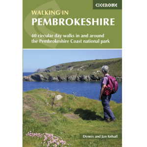
Walking in Pembrokeshire: 40 circular day walks in and around the Pembrokeshire Coast National Park
Guidebook to 40 circular walks in Pembrokeshire in Wales. Routes take in the dramatic beauty of the national park and its coast, the Daugleddau and the Preseli Hills, while exploring wooded gorges, prehistoric hillforts and medieval castles. Walks range from 1 to 12 miles and route descriptions are accompanied by 1:50,000 OS map extracts.
Pathfinder
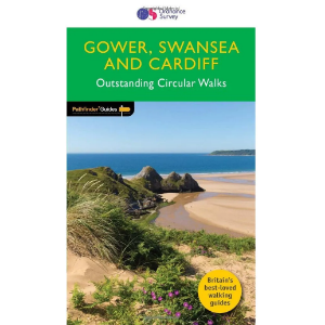
Gower Swansea and Cardiff - Outstanding Circular Walks
Get lost with 28 beautiful walks across Gower, Swansea, and Cardiff with the OS Pathfinder Guidebooks, graded by length and ranging from 3 to 11 miles.
Cicerone
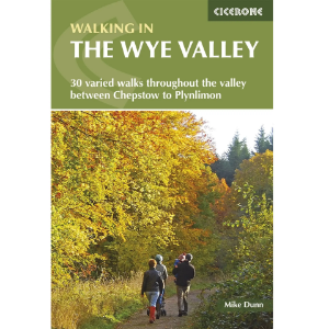
Walking in the Wye Valley 30 Varied Walks Throughout the Valley Between Chepstow and Plynlimon
Guidebook to 30 varied walks of 3 - 10 miles, in the valley of the Wye, the most scenic river in England and Wales, between Chepstow in the south and Plynlimon. Landscape ranges from open moorland to wooded gorges and is dotted with the sites of Iron Age hillforts and castles. Centres include Ross-on-Wye, Hereford, Hay-on-Wye and Rhayader.
Kittiwake Press
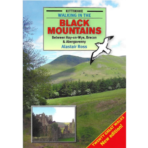
Walking in the Black Mountains - Between Hay-on-Wye, Brecon & Abergavenny
The Black Mountains are the first and last mountains of Wales. From the top of the easternmost ridge, and astride the border, you can see why a line was drawn here. To the east lie the fertile undulations of the English midlands. To the west, a succession of untamed ridges stretches to the western horizon.
Kittiwake Press
Walking in the Brecon Beacons National Park
The Brecon Beacons National Park stretches from the English border to the Tywi valley in Carmarthenshire, a distance of nearly 50 miles, covering an area of 520 square miles. This swathe of southern Wales is divided into four distinct areas of high ground by the rivers Usk, Taf and Tawe. These rivers, here in their enthusiastic infancy, descend to meet the salt water of the Bristol Channel by the three great cities of the south, Newport, Cardiff and Swansea respectively.
Cicerone
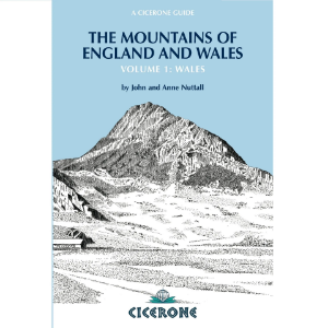
Mountains of England & Wales: Volume 1: Wales
The Nuttalls are hills over 2000ft high in England and Wales. The 190 Nuttalls in Wales are split into: Carneddau, Glyders, Snowdon, Moel Hebog, Moelwyns, Arenigs, Berwyns, Arans, Rhinogs, Cadair Idris, central Wales, Black Mountains, Brecon Beacons. Definitive lists, detailed route descriptions, maps and drawings of Wales' highest peaks.
Cicerone
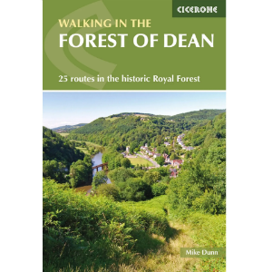
Walking in the Forest of Dean - 25 Routes in the Historic Royal Forest
Guidebook to 25 walks in the Forest of Dean, between the Severn and Wye, from 4-mile routes to all-day sections of long-distance trails such as the Offa's Dyke Path and Gloucestershire Way, this guide is ideal for exploring the forest and its history and includes the information needed for walkers of all abilities to explore this ancient area.
Vertebrate Publishing
Day Walks in the Brecon Beacons - 20 Circular Routes In South Wales
This pocket-sized guide features 20 circular routes between 6.8 and 16.5 miles (11 and 16.6 kilometres) in length, suitable for hill walkers of all abilities. The routes are split into four areas – Blorenge & The Black Mountains, The Brecon Beacons, Mynydd Llangatwg & Mynydd Llangynidr, and Fforest Fawr and The Black Mountain.
