Books and Maps
Terrain Cartographic Pc
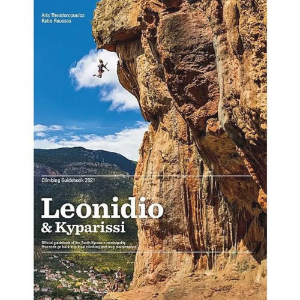
Leonidio & Kyparissi
This is a comprehensive guidebook covering all the sport climbing at Leonidio, the largest climbing area in mainland Greece. The guidebook also includes the additional areas of Kyparissi, Agios Petros and Agios Andreas. In total the guidebook details over 1,700 routes across 42 crags at Leonidio, plus over 300 routes across 9 crags at Kyparissi. Included in the free App that comes with the guidebook are an additional 32 crags and over 300 routes.
Cicerone
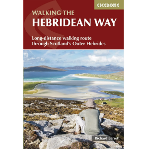
Walking the Hebridean Way
Guidebook to walking the Hebridean Way, a 155 mile (247km) walking route along the length of the Outer Hebrides. From the island of Vatersay to Stornoway on Lewis, the waymarked route can be walked in 8 to 13 days and crosses a variety of terrain including shell beaches, rugged hills and wild moor. Also includes an extension to the Butt of Lewis.
Great Western Rock
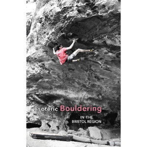
Esoteric Bouldering in the Bristol Region
The areas first comprehensive bouldering guide - Covering Bristol, Costa del Severn, Mendips, Wye Valley, Forest of Dean and The Cotswolds.
The Oxford Alpine Club
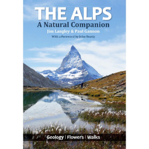
The Alps: A Natural Companion
The stunning natural beauty of the Alps makes this range of mountains one of Europe’s most popular tourist destinations. Written in straightforward language for those with little or no prior knowledge, this book helps visitors to appreciate the natural world around them, providing a guide to the geology and the flowers of Europe’s Alpine mountains.
Eliot Stephens
South Wales Bouldering
South Wales Bouldering has over 240 pages and 1100 boulder problems and covers the area from the western edges of Pembrokeshire, across the sandstone of the South Wales Valleys, coastal and mountain limestone and across to key venues on the side of the River Wye on the edge of the Forest of Dean.
Climbers Club
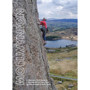
Moelwynion
A Climbers’ Club guide to Moelwynion, Cwm Lledr, Cwm Teigl, The Migneint and Town Crags around Blaenau Ffestiniog & Tanygrisiau. A comprehensive guide to rock climbing on the cliffs and crags surrounding Blaenau Ffestiniog and Dolwyddelan, this new guidebook showcases an often overlooked area of Snowdonia.
Cicerone
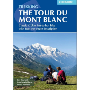
Trekking the Tour of Mont Blanc
Cicerone Trekking the Tour of Mont Blanc is the ultimate guide to hiking the Tour du Mont Blanc (TMB), a breathtaking 170km (105-mile) circuit through France, Italy and Switzerland. This comprehensive guidebook covers the 11-day trek in both directions, with detailed stage descriptions, route variations and planning tools, including maps, accommodation listings and transport info. Perfect for walkers of all fitness levels, the TMB can also be completed in 5–9 days as a fastpack or run. Enhance your trek with optional 1:25,000 IGN map booklets and downloadable GPX files for seamless navigation.
Great Western Rock
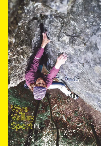
Wye Valley Sport
Wye Valley Sport is the long awaited guidebook to the wealth of sport climbing in the Lower Wye Valley.
Alyn Books Ltd
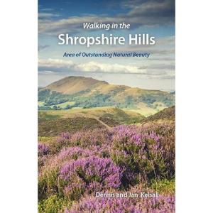
Walking in the Shropshire Hills
20 circular walks exploring the varied and unspoilt landscape of the Shropshire Hills Area of Outstanding Natural Beauty. The walks vary from 2.5 to 10 miles in length. Some cross rolling farmland and leafy woodland, others are on the open moors, including magnificent ridge walks with panoramic views.
Cockerel
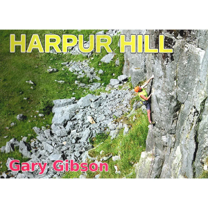
Harpur Hill 2021
This is the twenty-first UK climbing guide either written, compiled or edited by Gary Gibson. Each copy is signed by the author. This is an up to date topo guide to Harpur Hill in Derbyshire with 333 routes and twenty two topos. The publication includes an original line drawing of Papacy Buttress by Malc Baxter and was designed by Tim Hoddy.
Vertebrate Publishing
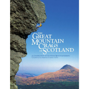
The Great Mountain Crags of Scotland
The Great Mountain Crags of Scotland is a celebration of climbing in Scotland’s wild places, compiled by Guy Robertson and Adrian Crofton. Featuring contributions from many of Scottish mountaineering’s great writers and climbers, and beautifully illustrated with breath-taking photography, it delves deep into the heart of some of the oldest mountains on Earth.
France IGN
French Leisure Maps
Maps covering the whole of France that display important walks, cycling routes, rivers, cliffs and crags.1:1 000 000 scale
France IGN
French Série Bleue and TOP 25
Featuring tourist information and footpaths including GR routes as well as contours and sensible shading to help define ridges and valleys. The walker, mountaineer and traveller option.
Harvey Maps
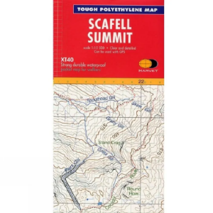
XT40 Summit 1:12,500
The Harvey Summit Maps are high detailed maps of Britain's highest and most popular peaks at a scale of 1:12,500. These maps are intended to provide supplementary detail of a complex piece of terrain.
Harvey Maps
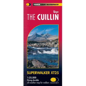
Superwalker XT25
The Harvey Maps Superwalker XT25 maps include detailed 1:25,000 scale maps of the UK and 1:30.000 scale maps of Ireland that are exceptionally clear and easy to read. These maps are also 100% waterproof, tough and light.
Harvey Maps
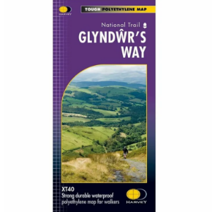
National Trails - Long Distance Route 1:40 000
The Harvey Maps National Trail Maps feature sensibly scaled 1:40 000 mapping, that gives enough detail for following a route across a large expanse of country and means that with clever fiddling you can get all of a National Trail on one or two maps. The mapping is sufficiently detailed, is completely waterproof and provides information on finding accommodation, camping and food availability.
