Books and Maps
Harvey Maps
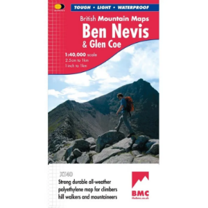
British Mountain Maps (BMC) 1:40 000
The Harvey Maps British Mountain Maps are made in co-operation with the British Mountaineering Council (BMC) and therefore are ideally suited for the needs of climbers and mountaineers. The mapping is 1:40 000 so you get a greater area covered by each map and it doesn't get cluttered with superfine details that can make 1:25 000 maps difficult to read on complex terrain.
Ordnance Survey of Ireland
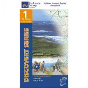
Discovery Series 1:50 000
The Ordnance Survey of Ireland Discovery Series 1:50 000 is a comprehensive series of maps that include detailed landscape information. The discovery series includes handy map symbols that indicate features like campsites, pubs, rights of ways and viewpoints that you will come across on your travels.
Ordnance Survey
Landranger 1:50 000 Laminated
The Ordnance Survey Landranger 1:50 000 (Laminated) series covers mainland UK with 204 individual sheets. They are ideal for day trips and short breaks where the terrain is not too complex. Each map has a very durable laminated waterproof coating that seals the elements out and will help the map last a long time in difficult environments like Outdoor Centre use. You can write on them with markers and then wipe them clean again.
Ordnance Survey
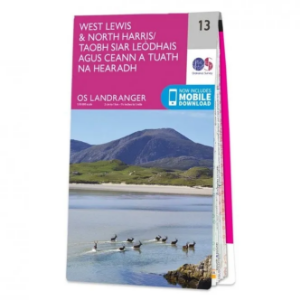
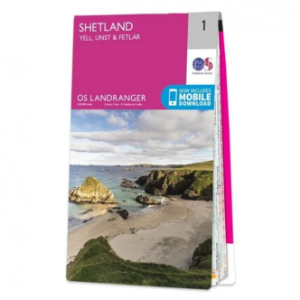
Landranger 1:50 000
The Ordnance Survey Landranger Map series covers mainland UK with 204 individual sheets. They are ideal for day trips and short breaks where the terrain is not too complex. Each map is covered with information to help you to move around and get to know the area.
Ordnance Survey
Explorer Outdoor Leisure 1:25 000 Laminated
The Ordnance Survey Explorer Outdoor Leisure 1:25 000 Laminated Maps are an essential for those who like to explore and discover more. The famous Explorer range of maps from OS are the only maps of the UK that display footpaths, car parks, contour lines, campsites, pubs and more handy landmarks. With these, you'll be sure to always know your location whether walking, running, cycling or horse riding.
Ordnance Survey
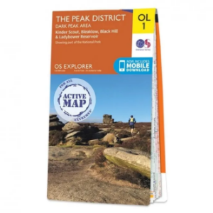
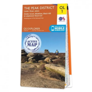
Explorer Outdoor Leisure 1:25 000
The Ordnance Survey Explorer Outdoor Leisure 1:25 000 Maps are an essential for those who like to explore and discover more. The famous Explorer range of maps from OS are the only maps of the UK that display footpaths, car parks, contour lines, campsites, pubs and more handy landmarks. With these, you'll be sure to always know your location whether walking, running, cycling or horse riding.
Ordnance Survey
Explorer 1:25 000 Laminated
The Ordnance Survey Explorer 1:25 000 Laminated Maps have a durable and laminated waterproof coating that seals the elements out and will help the map last a long time in difficult environments like Outdoor Centre use. You can write on them with markers and then wipe them clean again. The actual map has a 4cm to 1km gridded scale this is the best map for anyone operating in the outdoors, whatever your pursuit. The Explorer will get you where you want to be by road and then take you off-road on foot, by bike or horseback.
Ordnance Survey
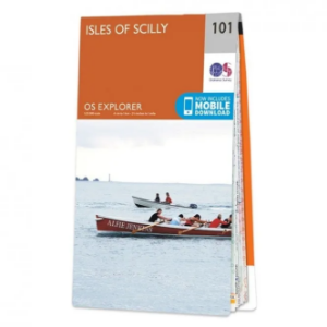
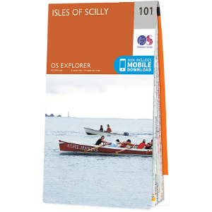
Explorer 1:25 000
The 403 Ordnance Survey Explorer 1:25 000 provide mapping across the whole of the UK. With a 4cm to 1km gridded scale, this is the best map for anyone operating in the outdoors, whatever your pursuit. The Explorer will get you where you want to be by road and then take you off-road on foot, by bike or horseback. The maps also show the symbols for features for things such as national trails, picnic areas, viewpoints, pubs and rights of way.
Ordnance Survey of Northern Ireland
Discoverer Map Series 1:50 000
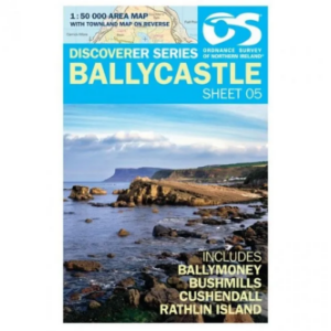
The Ordnance Survey Discoverer Map Series of Northern Ireland are Topographical Maps that are perfect for walking and hiking. They are very detailed and cover a large area. These maps show many topographical features you may come across on walks, such as pubs, campsite, rights of way and national trust areas.
Swisstopo
Swiss National Map 1:25 000
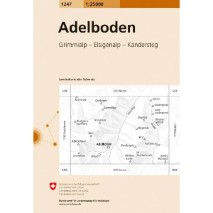
The whole of Switzerland on 247 maps that display highly accurate detail suited to travelling, walking and mountaineering. Railways, roads, paths and rivers are all displayed combined with buildings, vegetation and terrain features.
Swisstopo
Swiss National Map 1:50 000
The whole of Switzerland on 78 maps that display highly accurate detail suited to travelling, walking and cycling. Railways, motorways, roads, main paths and rivers are all displayed and labelled combined with buildings, vegetation and terrain features.
Tabacco
Dolomites 1:25 000
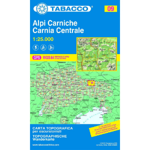
Quality mapping of the Dolomites showing contours, roads, paths, huts, bivouac huts, inns and chair lifts.
Rockfax
Peak Bouldering
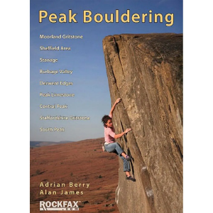
With a variety of crags and easy access all this is possible in the Peak area. The main attractions are the extensive gritstone crags that stretch from Wimberry in the northwest, through the eastern edges and the central grit crags, and on to Staffordshire.
Pathfinder
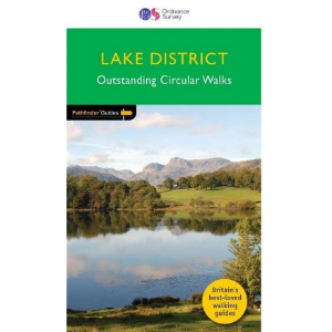
Lake District - Outstanding Circular Walks
Discover 28 outstanding circular walks in the Lake District National Park, graded by length and ranging from 3 to 10 miles with easy-to-follow route descriptions.
Pathfinder Guides
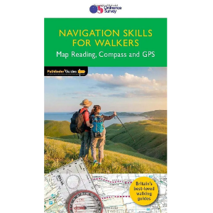
Navigation Skills for Walkers - Map Reading, Compass and GPS
Improve your walking safety and make more of your time outdoors with this concise guidebook for walkers, full of step-by-step guides with clear illustrations. Navigation Skills for Walkers will help you grow your skills in map reading, using a compass, and using a GP device or app. It focuses on using OS mapping, but most of the skills and techniques can be used for any map.
Rockfax
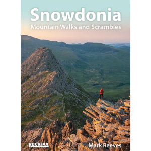
Snowdonia: Mountain Walks and Scrambles
All the best mountain walks and scrambles in and around the Snowdonia area. The coverage is done in full Rockfax style with big overview photos, precise route descriptions and detailed maps. It also has an extensive introduction covering some of the basic skills required for scrambling, route planning and navigation.
