Cookies help us deliver our services. By using our services, you agree to our use of cookies.
Ordnance Survey of Northern Ireland
Sort by
Display per page
Ordnance Survey of Northern Ireland
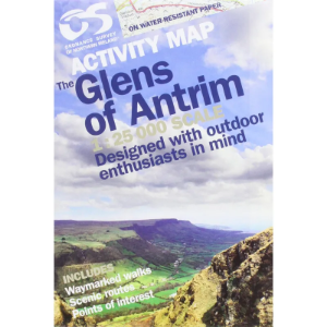
Activity Map Series 1:25 000
Derived from the popular Discover series, these 1:25 000 scale maps have been created for outdoor pursuits. As well as offering a detailed scale of 4cm to 1km, the maps also contain photographs of landmarks, tracks, cliffs, climbs and other useful information.
From £7.09 inc. VAT
Ordnance Survey of Northern Ireland
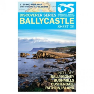
Discoverer Map Series 1:50 000
The Ordnance Survey Discoverer Map Series of Northern Ireland are Topographical Maps that are perfect for walking and hiking. They are very detailed and cover a large area. These maps show many topographical features you may come across on walks, such as pubs, campsite, rights of way and national trust areas.
From £5.91 inc. VAT


