Ordnance Survey

At Up and Under in Cardiff, UK, we offer a wide selection of Ordnance Survey (OS) maps and guides, including the highly detailed Explorer and Landranger series. Whether you're hiking the Brecon Beacons, exploring Snowdonia, or navigating the Welsh coastal paths, OS maps provide the trusted, accurate topographic information you need for safe and enjoyable outdoor adventures.
As Britain’s national mapping agency since 1791, Ordnance Survey has built a reputation for unrivalled precision and innovation. Their maps are used by walkers, hikers, cyclists, and outdoor enthusiasts across the UK. With clear contour details, public rights of way, and natural landmarks, OS maps are an essential tool for navigation and route planning.
Visit us in-store or shop online to find the full range of OS maps and navigation guides, and start planning your next journey with Britain’s most reliable and widely used maps.
Ordnance Survey
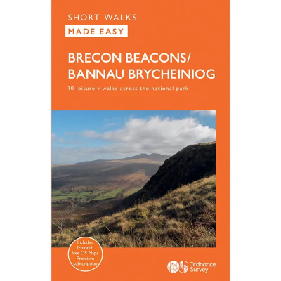
Short Walks Made Easy
The Ordnance Survey Short Walks Made Easy series of guidebooks feature simple turn-by-turn directions and reassuring photos of selected points along the way, with easy-to-follow route profiles and easy-read, ultra-clear walk maps. These are the perfect guidebooks for those with no previous walking experience or specialist gear, featuring bottom-of-the-hill walks in some of Britain's favourite outdoor places. Fascinating places of interest may provide ideas for extending your visit, while Nature Notes point to things you might spot.
Ordnance Survey
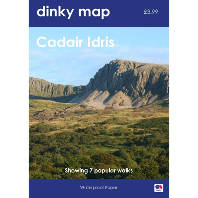
Dinky Map
The Ordnance Survey Dinky Map is a pocket-sized waterproof map that uses the OS Explorer Map background. A3 sized paper folded to A6 — that's the size of a small paperback book.
Ordnance Survey
Landranger 1:50 000 Laminated
The Ordnance Survey Landranger 1:50 000 (Laminated) series covers mainland UK with 204 individual sheets. They are ideal for day trips and short breaks where the terrain is not too complex. Each map has a very durable laminated waterproof coating that seals the elements out and will help the map last a long time in difficult environments like Outdoor Centre use. You can write on them with markers and then wipe them clean again.
Ordnance Survey
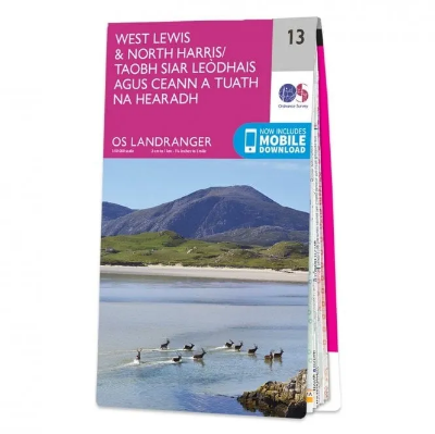
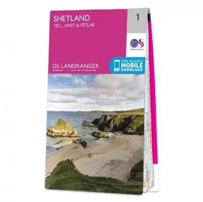
Landranger 1:50 000
The Ordnance Survey Landranger Map series covers mainland UK with 204 individual sheets. They are ideal for day trips and short breaks where the terrain is not too complex. Each map is covered with information to help you to move around and get to know the area.
Ordnance Survey
Explorer Outdoor Leisure 1:25 000 Laminated
The Ordnance Survey Explorer Outdoor Leisure 1:25 000 Laminated Maps are an essential for those who like to explore and discover more. The famous Explorer range of maps from OS are the only maps of the UK that display footpaths, car parks, contour lines, campsites, pubs and more handy landmarks. With these, you'll be sure to always know your location whether walking, running, cycling or horse riding.
Ordnance Survey
Explorer Outdoor Leisure 1:25 000
The Ordnance Survey Explorer Outdoor Leisure 1:25 000 Maps are an essential for those who like to explore and discover more. The famous Explorer range of maps from OS are the only maps of the UK that display footpaths, car parks, contour lines, campsites, pubs and more handy landmarks. With these, you'll be sure to always know your location whether walking, running, cycling or horse riding.
Ordnance Survey
Explorer 1:25 000 Laminated
The Ordnance Survey Explorer 1:25 000 Laminated Maps have a durable and laminated waterproof coating that seals the elements out and will help the map last a long time in difficult environments like Outdoor Centre use. You can write on them with markers and then wipe them clean again. The actual map has a 4cm to 1km gridded scale this is the best map for anyone operating in the outdoors, whatever your pursuit. The Explorer will get you where you want to be by road and then take you off-road on foot, by bike or horseback.
Ordnance Survey
Explorer 1:25 000
The 403 Ordnance Survey Explorer 1:25 000 provide mapping across the whole of the UK. With a 4cm to 1km gridded scale, this is the best map for anyone operating in the outdoors, whatever your pursuit. The Explorer will get you where you want to be by road and then take you off-road on foot, by bike or horseback. The maps also show the symbols for features for things such as national trails, picnic areas, viewpoints, pubs and rights of way.

