Products tagged with 'walking map'
Ordnance Survey
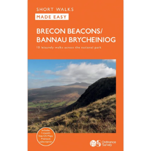
Short Walks Made Easy
The Ordnance Survey Short Walks Made Easy series of guidebooks feature simple turn-by-turn directions and reassuring photos of selected points along the way, with easy-to-follow route profiles and easy-read, ultra-clear walk maps. These are the perfect guidebooks for those with no previous walking experience or specialist gear, featuring bottom-of-the-hill walks in some of Britain's favourite outdoor places. Fascinating places of interest may provide ideas for extending your visit, while Nature Notes point to things you might spot.
Harvey Maps
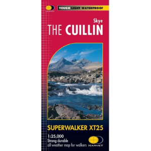
Superwalker XT25
The Harvey Maps Superwalker XT25 maps include detailed 1:25,000 scale maps of the UK and 1:30.000 scale maps of Ireland that are exceptionally clear and easy to read. These maps are also 100% waterproof, tough and light.
Harvey Maps
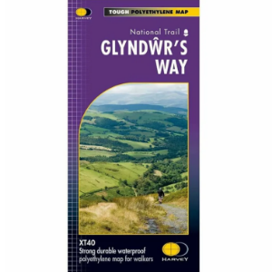
National Trails - Long Distance Route 1:40 000
The Harvey Maps National Trail Maps feature sensibly scaled 1:40 000 mapping, that gives enough detail for following a route across a large expanse of country and means that with clever fiddling you can get all of a National Trail on one or two maps. The mapping is sufficiently detailed, is completely waterproof and provides information on finding accommodation, camping and food availability.
Harvey Maps
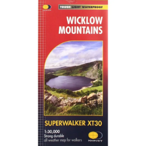
Superwalker XT30
The Harvey's Superwalker map set includes detailed 1:25,000 scale maps of the UK and 1:30.000 scale maps of Ireland that are exceptionally clear and easy to read. These maps are also 100% waterproof, tough and light.


