Products tagged with 'map'
Ordnance Survey
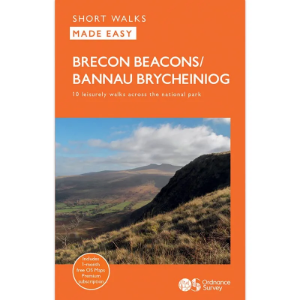
Short Walks Made Easy
The Ordnance Survey Short Walks Made Easy series of guidebooks feature simple turn-by-turn directions and reassuring photos of selected points along the way, with easy-to-follow route profiles and easy-read, ultra-clear walk maps. These are the perfect guidebooks for those with no previous walking experience or specialist gear, featuring bottom-of-the-hill walks in some of Britain's favourite outdoor places. Fascinating places of interest may provide ideas for extending your visit, while Nature Notes point to things you might spot.
OMM Ltd
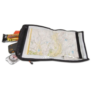
Trio Map Pouch
The OMM Ltd Trio Map Pouch is versatile pouch with an integrated map-carry system, designed to fit OMM race packs via the front harness. It can be worn either across the chest, or alternatively can be mounted in a lower position across the waist if preferred by the user. The Trio Map Pouch provides you with quick-access to essential items and has a fold out map pocket on the front, so you can map read and navigate whilst on the move.
Ordnance Survey
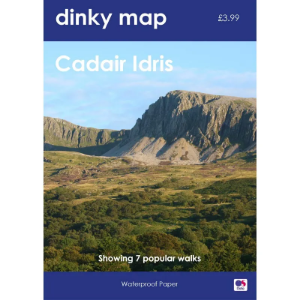
Dinky Map
The Ordnance Survey Dinky Map is a pocket-sized waterproof map that uses the OS Explorer Map background. A3 sized paper folded to A6 — that's the size of a small paperback book.
Ordnance Survey of Northern Ireland
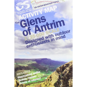
Activity Map Series 1:25 000
Derived from the popular Discover series, these 1:25 000 scale maps have been created for outdoor pursuits. As well as offering a detailed scale of 4cm to 1km, the maps also contain photographs of landmarks, tracks, cliffs, climbs and other useful information.
France IGN
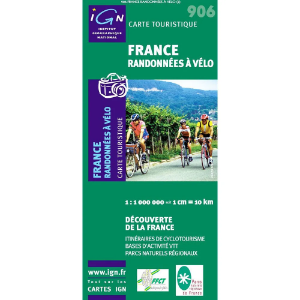
French Leisure Maps
Maps covering the whole of France that display important walks, cycling routes, rivers, cliffs and crags.1:1 000 000 scale
France IGN
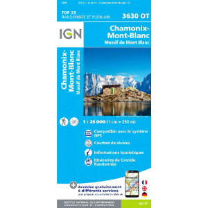
French Série Bleue and TOP 25
Featuring tourist information and footpaths including GR routes as well as contours and sensible shading to help define ridges and valleys. The walker, mountaineer and traveller option.
Harvey Maps
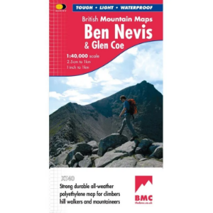
British Mountain Maps (BMC) 1:40 000
The Harvey Maps British Mountain Maps are made in co-operation with the British Mountaineering Council (BMC) and therefore are ideally suited for the needs of climbers and mountaineers. The mapping is 1:40 000 so you get a greater area covered by each map and it doesn't get cluttered with superfine details that can make 1:25 000 maps difficult to read on complex terrain.
Ordnance Survey of Ireland
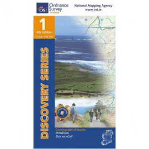
Discovery Series 1:50 000
The Ordnance Survey of Ireland Discovery Series 1:50 000 is a comprehensive series of maps that include detailed landscape information. The discovery series includes handy map symbols that indicate features like campsites, pubs, rights of ways and viewpoints that you will come across on your travels.
