Products tagged with 'map'
Ordnance Survey
Landranger 1:50 000 Laminated
The Ordnance Survey Landranger 1:50 000 (Laminated) series covers mainland UK with 204 individual sheets. They are ideal for day trips and short breaks where the terrain is not too complex. Each map has a very durable laminated waterproof coating that seals the elements out and will help the map last a long time in difficult environments like Outdoor Centre use. You can write on them with markers and then wipe them clean again.
Ordnance Survey
Landranger 1:50 000
The Ordnance Survey Landranger Map series covers mainland UK with 204 individual sheets. They are ideal for day trips and short breaks where the terrain is not too complex. Each map is covered with information to help you to move around and get to know the area.
Ordnance Survey
Explorer Outdoor Leisure 1:25 000 Laminated
The Ordnance Survey Explorer Outdoor Leisure 1:25 000 Laminated Maps are an essential for those who like to explore and discover more. The famous Explorer range of maps from OS are the only maps of the UK that display footpaths, car parks, contour lines, campsites, pubs and more handy landmarks. With these, you'll be sure to always know your location whether walking, running, cycling or horse riding.
Ordnance Survey
Explorer Outdoor Leisure 1:25 000
The Ordnance Survey Explorer Outdoor Leisure 1:25 000 Maps are an essential for those who like to explore and discover more. The famous Explorer range of maps from OS are the only maps of the UK that display footpaths, car parks, contour lines, campsites, pubs and more handy landmarks. With these, you'll be sure to always know your location whether walking, running, cycling or horse riding.
Ordnance Survey
Explorer 1:25 000 Laminated
The Ordnance Survey Explorer 1:25 000 Laminated Maps have a durable and laminated waterproof coating that seals the elements out and will help the map last a long time in difficult environments like Outdoor Centre use. You can write on them with markers and then wipe them clean again. The actual map has a 4cm to 1km gridded scale this is the best map for anyone operating in the outdoors, whatever your pursuit. The Explorer will get you where you want to be by road and then take you off-road on foot, by bike or horseback.
Ordnance Survey
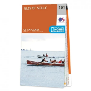
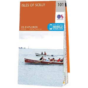
Explorer 1:25 000
The 403 Ordnance Survey Explorer 1:25 000 provide mapping across the whole of the UK. With a 4cm to 1km gridded scale, this is the best map for anyone operating in the outdoors, whatever your pursuit. The Explorer will get you where you want to be by road and then take you off-road on foot, by bike or horseback. The maps also show the symbols for features for things such as national trails, picnic areas, viewpoints, pubs and rights of way.
Ordnance Survey of Northern Ireland
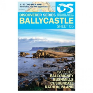
Discoverer Map Series 1:50 000
The Ordnance Survey Discoverer Map Series of Northern Ireland are Topographical Maps that are perfect for walking and hiking. They are very detailed and cover a large area. These maps show many topographical features you may come across on walks, such as pubs, campsite, rights of way and national trust areas.
Ortlieb
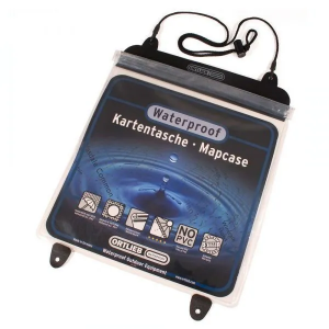
Map Case
The Ortlieb Map Case is the top pick among map cases. It features see-through panels on both sides and is constructed from robust rubber that outlasts wear and tear at the seams, setting it apart from less durable options. The secure top closure ensures waterproof protection and for added convenience, you can opt for the carrying cord accessory.
